Raymarine’s Axiom+ MFDs enhance Clarity and Speed
Axiom+ incorporates several new features for Caribbean boaters, including direct viewing in bright sunshine and improved touch controls.
 Red Coral PropertiesOwner-verified on First Mate →
 Intracoastal Yacht SalesOwner-verified on First Mate →
 Caribbean Marine Surveyors LtdOwner-verified on First Mate →
 Shelter Bay MarinaOwner-verified on First Mate →
 St. Croix MarineOwner-verified on First Mate →
 Christiansen Commercial Real EstateOwner-verified on First Mate →
 Crown Bay MarinaOwner-verified on First Mate →
 CarenantillesOwner-verified on First Mate →
 Marine TraveliftOwner-verified on First Mate →
 Parts & PowerOwner-verified on First Mate →
 Budget MarineOwner-verified on First Mate →
 Sevenstar Yacht TransportOwner-verified on First Mate →
 Offshore MarineOwner-verified on First Mate →
 Dolphin Water TaxiOwner-verified on First Mate →
 Golden Hind ChandleryOwner-verified on First Mate →
 Cay ElectronicsOwner-verified on First Mate →
 Smart Marine SolutionsOwner-verified on First Mate →
 Paradise Yacht ManagementOwner-verified on First Mate →
 Jolly Harbour Marina / Boat YardOwner-verified on First Mate →Caught ya’ looking…Advertise with ALL AT SEA →Boats for sale in the islandsBrowse the listings →
Axiom+ incorporates several new features for Caribbean boaters, including direct viewing in bright sunshine and improved touch controls.

Nautical navigation has come a long way in the last four decades. In 1980 GPS was only just over the horizon (pun intended) for private use.

To help boaters learn more about navigation and successfully enjoy their time on the water, the ASA and iNavX, teamed up earlier this year
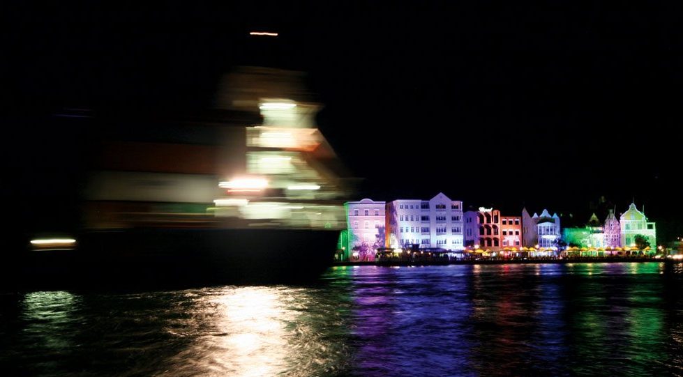
When sailing at night you get a unique perspective on the world. The stars seem more luminescent and much nearer, the wind seems stronger and you feel as if you are cocooned in your own little world. It is easy to believe in ancient gods and transient beings when you are alone on the deep…
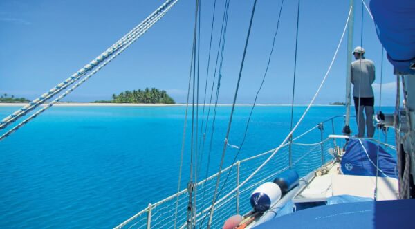
Many atolls and reef areas have only sketchy charts or are entirely uncharted. Of course, reef navigation means a great deal of eye-ball navigation – regardless of chart availability. Nevertheless, it helps a lot knowing beforehand where the navigable channels through a vast maze of reefs are and where to expect those perfect, sandy patches…

Clouds are closing in, ominous and black, while a line squall races towards your boat. Might not be the best time to bring it up, but with better observational skills and a bit of background you could have been watching the spectacle from the safety of your berth. But there is a silver lining: clouds…

ADAPTER CREATES SAFE SHORE POWER CONNECTION Owners of larger vessels need to keep an adapter aboard in case the marina they’re visiting doesn’t offer matching shore power output. For yachts with 100 amp, 125/250 AC electricity, Hubbell Marine’s YQ100PLuS Intelligent Y Adapter is ideal. It allows the user to hook up to pedestals that have one…

The Strait of Dover, the narrowest point in the English Channel, was shrouded in thick fog on January 11, 1971 when the tanker Texaco Caribbean was struck by the freighter Paracas. The collision caused the tanker to explode, split in two and sink in shallow water with the loss of eight lives and the discharge…

By now everyone’s heard the rumors that the National Oceanic and Atmospheric Administration (NOAA) is getting out of the chart business. In reality, the NOAA is making charts better than ever. True, the federal government will no longer be printing the traditional lithographic paper charts that they’ve been producing since the days of the Civil…

Coast guard aids to navigation team Puerto Rico have received the prestigious Sumner I. Kimball readiness award. Motorists may take traffic signs for granted and some yachtsmen may do the same with navigation aids. Yet, take these away and disaster can result. That’s why it’s awesome for boaters cruising through the waters of Puerto Rico…

Many people don’t carry paper charts anymore. In the shallows surrounding the coastal regions of the southeast, particularly on the ICW, this is a mistake.
LIFE … before GPS Forty years ago the Global Positioning System, a satellite computerized mapping system was not even on the horizon, so to speak, for the private yachtsman. If you wanted to cruise offshore you had to know celestial navigation. And the knowledge of this art/science kept many would-be cruising sailors either coastwise sailing…