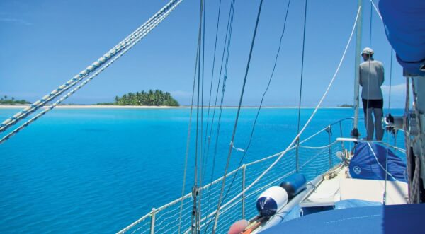
Many atolls and reef areas have only sketchy charts or are entirely uncharted. Of course, reef navigation means a great deal of eye-ball navigation – regardless of chart availability. Nevertheless, it helps a lot knowing beforehand where the navigable channels through a vast maze of reefs are and where to expect those perfect, sandy patches for anchoring. On Pitufa we extensively use satellite imagery to aid reef navigation.
When I first saw Google Earth in action many years ago, I could hardly get over my astonishment. Zooming from space down to the continent, the country, the village, the house you live in, even if only virtually, is just amazing. High-detail aerial imagery for free enables new possibilities – particularly for navigation in coral atolls and reef areas.
We use satellite images for trip planning. Before we actually sail to a new place, we explore the area virtually and try to get the big picture. For example, do the passes hold hidden dangers? Where are the best anchoring spots? (Sandy, not too deep, not too shallow, protected, pretty, easy beach access, etc.) How do we safely access those spots? Do the coral heads reach up to the surface or are they deep enough to sail or swing over?
Of course, there are no depth soundings on aerial images. It takes some learning to read colors like soundings, to interpret the different shades of turquoise over sand, the different shades of brown of coral. Learning requires feed-back from actual navigating. Start exploring on a calm, sunny day when the sun is high in the sky. Compare the display of your depth sounder with the colors around you as well as with the satellite images as you go along. Look at the submerged coral heads next to you and try to guess their depths. Have a look at the sounder when you go over them. Soon you will see soundings instead of colors.
A big drawback is that several aerial photographs were taken on cloudy days, so some areas (particularly bays of mountainous islands) are partly or completely hidden. Other photographs were taken at the wrong time of the day (early in the morning or late in the afternoon) so that the sea surface only reflects the light and does not reveal what’s underneath. In such cases one can try Google Earth’s historical images. With luck, imagery of past years is of better navigational quality.

A massive restriction is Google Earth’s cache size limit of 2 GB, which allows storage of only a small region with high-resolution coverage for later offline use. Also, there is no option to connect to a GPS device (at least not in the free version).
There are two popular ways to use Google Earth satellite images in the open source chart plotter program OpenCPN. The GE2KAP program lets you convert Google Earth screen shots into raster charts for OpenCPN. However, this means lots of cumbersome work to cover a larger area. Also, the program only runs on MS Windows. Another way is to view (regular) charts and satellite imagery side-by-side on OpenCPN with the Google Earth plugin for OpenCPN. Unfortunately this plugin works only on Windows.

Our favorite choice is the open source program SAS.Planet as it does not have the above mentioned limitations. It can use images from many different map providers such as Google, Bing, Nokia or Here.com. So, if one provider has only bad coverage of an area because of clouds, reflecting sea surface or low resolution, one can try several others. There is no limit on the size of the cache, so all downloaded tiles will be available for offline use. You can select a region using a polygon and let the program automatically download all tiles of that area for a given zoom level. And yes, you can plug a GPS device to your laptop and use SAS.Planet as a chart plotter.

The latest version can be downloaded from bitbucket.org/sas_team/sas.planet.bin/downloads. The team of Russian developers did a great job, however, most discussion about the program on the net (forums, etc.) is in Russian. Unfortunately SAS.Planet is written in Delphi which makes it hard to be ported to other operating systems other than Windows. However, it runs nicely in emulated environments (e.g. wine on linux or on any virtual machine). If you’re looking for an app for your tablet, check out OvitalMap.
Even with excellent satellite imagery, don’t trust it blindly. Remote offshore reefs may not be covered at all, sandbanks move, and there is never any guarantee whether the images or your GPS fix are at the right place. We still wait for good light and have a watch at the bow when we’re exploring new areas. But knowing the big picture up front makes reef navigation a lot less stressful.


