Become a Sailor Scientist: How Cruisers Can Help Map the World’s Coral Reefs
Scientists can’t be everywhere. Cruisers already are — and a GoPro and a GPS can fill the blank spots on the reef map.

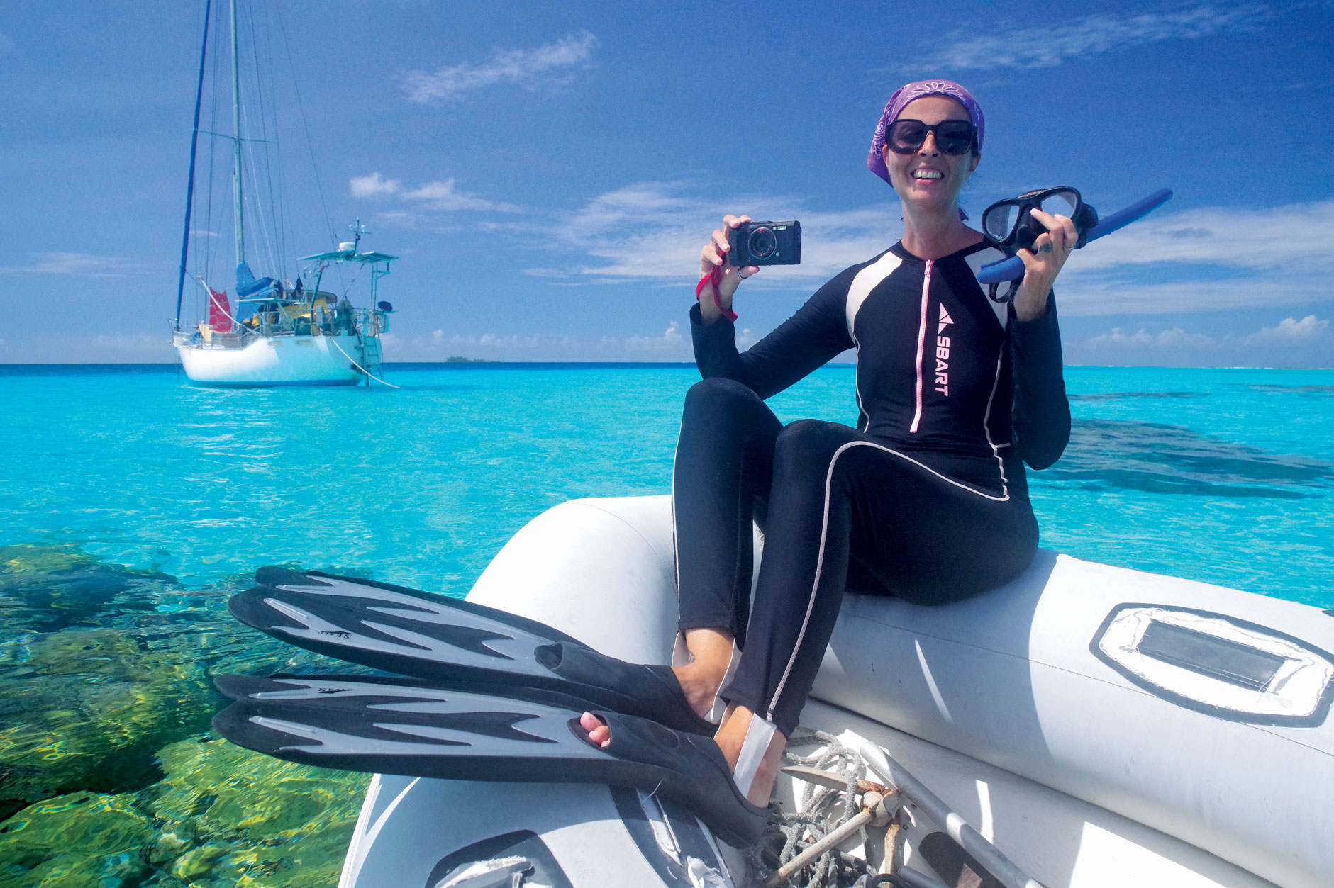
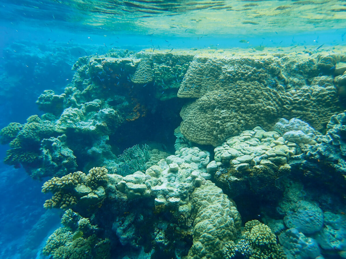
We love the underwater world and spend hours in the water every day whenever we’re in an area with clear water and coral reefs. We’ve witnessed horrible bleaching events, cried over dead and overgrown reefs, but we have also found unexpected gems of super-resilient coral thriving despite record temperatures. We always take lots of pictures, mostly for our own records and also to share with friends and of course with you, dear ALL AT SEA readers! Quite often we thought that the masses of pictures and temperature records that we collect from different islands could well be useful for scientists, if only there was a way to find and contact those who are currently working on projects and papers about bleaching events and coral resilience. Tom and Sonja, Austrian cruiser friends, had the same thought, but being marine biologists and actively working for reef protection, they made the step from theoretical idea to practical implementation and set up a database where cruisers from all around the world can contribute footage from reefs to document their state, and make it accessible for science!
ocean.org, Thorsten Schrader
Are you interested, avid snorkelers and/or divers and want to contribute?
Then check out https://planet-ocean.org/en/csi-coral.html where Tom and Sonja introduce and explain their project.
To participate you don’t need expert skills or scientific training, just:
• a waterproof action camera (e.g., GoPro or equivalent) capable of 4K recording
• a mobile GPS unit (e.g. a GPS-enabled watch, or a smartphone running a tracking application housed in a waterproof bag/case)
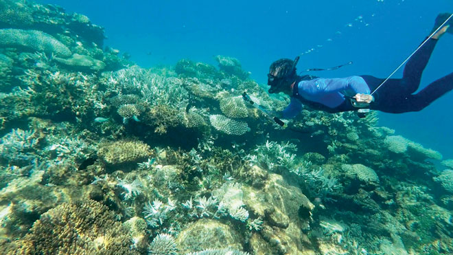
• a swim buoy with a tether or a waterproof bag to secure the GPS unit to the swimmer.
Then you simply pick a section of reef that seems interesting, because it’s either a typical representation of the state of the coral in this area, or as it shows a bio-diverse stretch of reef or an example of badly struggling coral in contrast to the healthy colleagues on a coral head nearby.
ocean.org, Thorsten Schrader
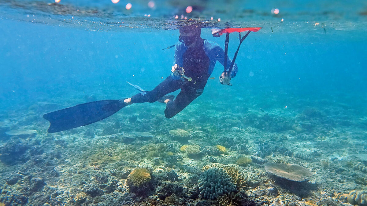
You start with a view above the water, so that observers without local knowledge get an idea of where you are (close to land, out on a reef, inside a pass, etc.), then you do a slow 360° circle to give an overview of the underwater landscape you’re about to film, before you set out on a slow swim, pointing the camera down and slightly forward. After approximately 20 m (about 60 seconds) you do another sweeping view all around you and stop filming.
Sounds simple? It is, even though I found it quite challenging to hold the camera steady while swimming—especially in rough seas or with a current running. The first examples of my video-art likely would have made a viewer seasick, but with some practice the footage is starting to get better. Of course I’m using an old Olympus Tough that we usually use for photographs instead of videos, so if you have a modern camera with proper image stabilization features it’s much easier to get nice results. Watch Tom and Sonja’s explanatory video in the Q&A section of https://planet-ocean.org/en/csi-coral.html and splash into the water to give it a try!
ocean.org, Thorsten Schrader
So, what happens to your video? It doesn’t just disappear into a database. It gets uploaded to an interactive public map where scientists (and everyone else who is interested) can see what is happening in these remote corners of the world.
We all know the reefs are under pressure. We’ve seen the bleaching and the changes with our own eyes. But here is the problem: scientists can’t be everywhere. Research expeditions to remote atolls are incredibly expensive and rare. Local communities often don’t have the means to contribute data as they lack the necessary equipment to film and share high-resolution videos. This leaves massive blank spots on the global map—places that might be perfectly healthy or silently dying, and nobody knows.













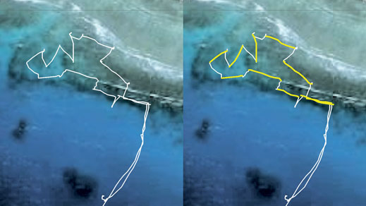
ocean.org, Thorsten Schrader
Here the recreational cruising sailboat fleet can step in: As cruisers we visit remote tropical locations, anchor in exactly those areas where scientific data is most scarce. As we utilize the power of the wind instead of fossil fuels, we’re not only in the place where scientific data is needed, we also arrive with the minimal carbon footprint associated with marine research and science tourism. So, if you are a concerned citizen of mother earth, enjoy spending time in the water and have the necessary hardware, become a sailor scientist and share your footage of the reefs you visit!
Birgit and Christian have been cruising aboard their S&S SY Pitufa since 2011. Check out their blog www.pitufa.at for more info about their journey and/or read their travel books and DIY advice: “Sailing Towards the Horizon”, “Cruising Know-How” and “On Velvet Paws Towards the Horizon” are available on Amazon!
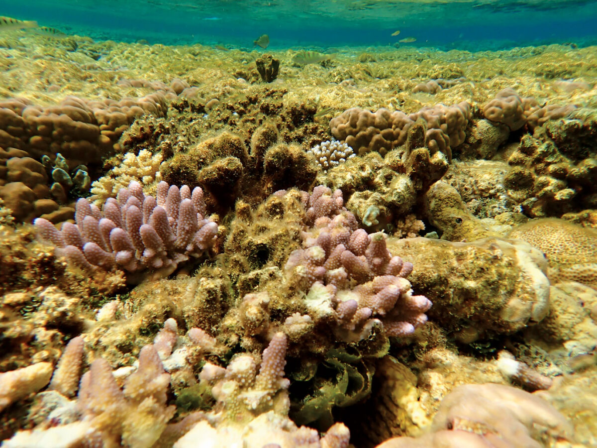
ocean.org, Thorsten Schrader
Tom, Sonja, and their son Keanu have been exploring the oceans since 2013 on their fully electric Wharram Catamaran “Pakia tea”. They are now dedicating their non-profit Planet Ocean to bridge the gap between marine science and the sailing community. Learn more and join the initiative at https://planet-ocean.org/en/csi-coral.html
Birgit Hackl has written for ALL AT SEA since 2012.
Worth your time?
Thanks — noted.